
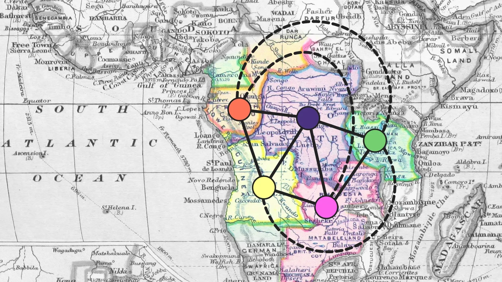
In 1852, then-student Francis Guthrie wondered any if possible map required more than four colours. By the end of the century, Guthrie and his fellow colonists had drawn a map on Africa that needed five.
The Four-Colour Theorem says that, no matter what the borders on your map are, you only need four colours to make sure that neighbouring regions are coloured differently. The theorem doesn’t apply if you let some regions claim other disconnected regions as their own, and in fact the map of European claims on Africa required five colours by the end of the 19th century.
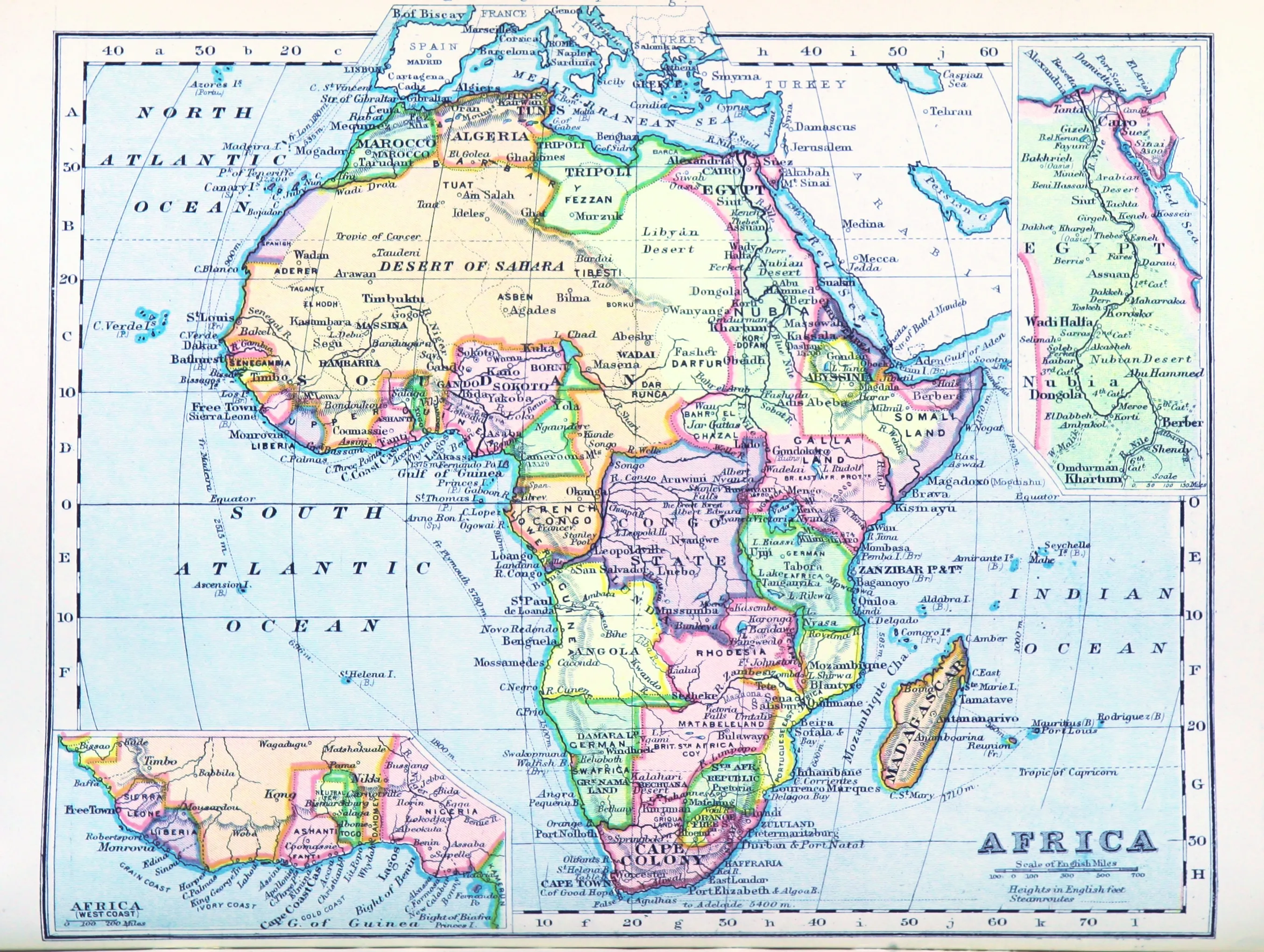
A map of Africa published in 1899. (William Balfour Irvine / British Library)
Francis Guthrie, who moved to the South African Cape Colony in 1861, could well have owned a map like the above. Five colours are necessary to properly colour the land that Britain (red), France (orange), Portugal (yellow), Germany (green), and Belgium’s King Leopold II (purple) decided should belong to them.
Five territorities in the center are key to the map colouring:
| Area | Colonizer | |
|---|---|---|
| 🟣 | Congo basin | King Leopold II |
| 🟠 | north of the Congo | France |
| 🟡 | south of the Kwango | Portugal |
| 🔴 | upper Zambezi basin | Britain |
| 🟢 | African Great Lakes | Germany |
The boundaries between these colonies separate seven different pairs of empires. Borders between other African colonies account for the other three possible sets of neighbours:
- French Congo was next to German Kamerun;
- German East Africa to Portuguese Mozambique; and
- French claims in the Ubangi-Chari area were next to Anglo-Egyption Sudan.
In short, the adjacency graph between these empires was the complete graph .